
Blessed are the curious, for they shall have adventures.
-Lovell Drachman

From Denver, down we went to escape the coming of winter just as fast as we could: Raton Pass and Roswell, New Mexico; Guadalupe National Park, Texas. The weather stayed in the 40’s, fog and low hanging clouds. I was excited to return to the Guadalupes and thought we’d have a picnic lunch and maybe a little hike there. It was windy and cold so we ate a quick lunch in the truck.

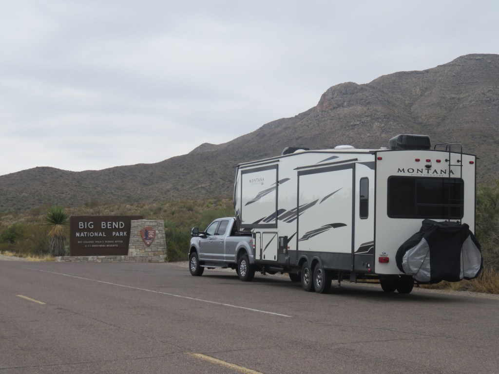
Then Van Horn, Marfa and Alpine, Texas. The towns kept getting smaller and the scenery by the road more beautiful. Marathon, Texas; then 39 miles to the gate of Big Bend; 26 miles from there to Panther Junction in the park; and then, finally, 20 miles more to our RV site in Rio Grande village. It took us 4 days driving an average of 200 miles to arrive. That sign looked pretty good.

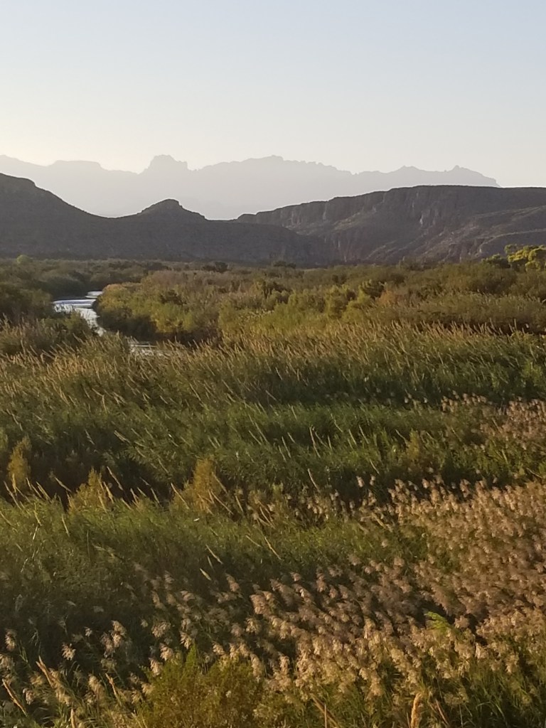
You can see the Sierra del Carmen mountains peeking over the top of tunnel on the right. A picture of them is also at the top of this post, and brown/grey is their normal color. They are at the far east of the park, and at their feet is the Rio Grande River. That means that these mountains are actually in Mexico. We were closer to the mountains in our site, and the beautiful thing about them is that the sun turns them a beautiful pink as it sets. We enjoyed this show every evening while we were there.


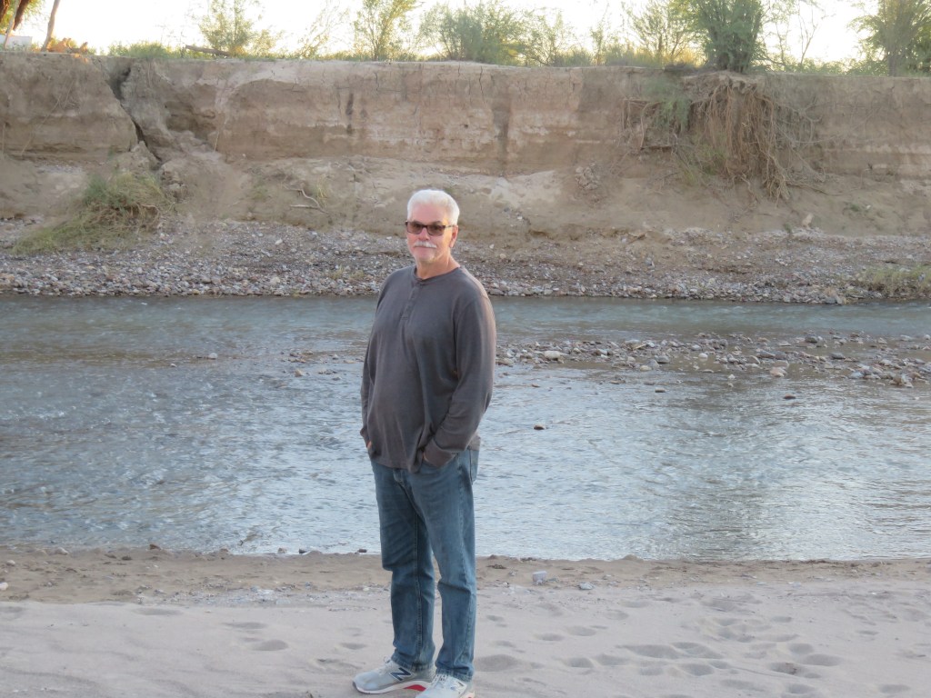
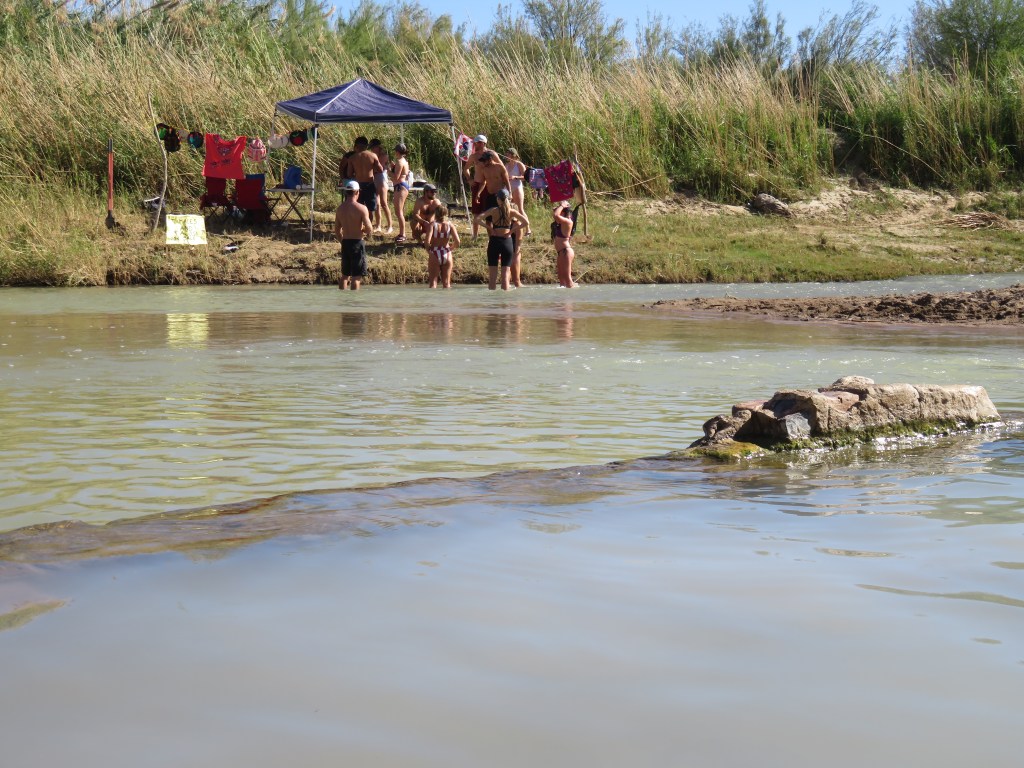
We took the “nature hike” at an adjoining campground for our first look at the Rio Grande.
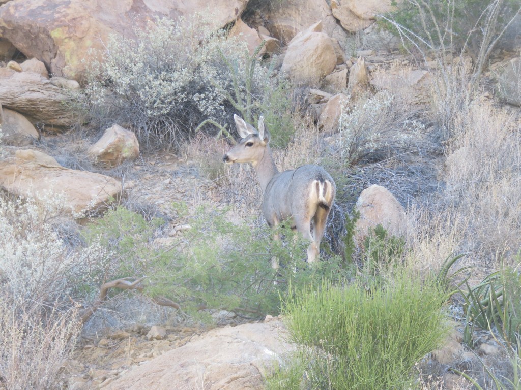
When we returned to our RV area, there was a coyote yapping in the parking lot. I don’t know what its problem was, but then we saw a few javelinas grazing just beyond our RV. Then, walking just beyond the RV’s over to an adjoining meadow, horses grazing! We were very excited to see all the wildlife and were hopeful this would continue every evening, but that was the best show. We learned from a ranger later that the horses weren’t wild, but belong to Mexicans just over the border. They just let them wander and graze until they want them. Unfortunately, the only good picture I got was of the javelinas.

Boquillas Canyon, in the Sierra del Carmens, was also close to us so we took a hike there.
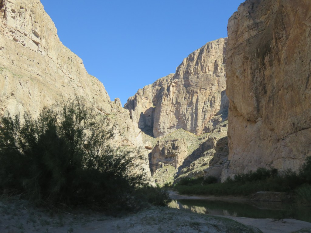

Along the hike to Boquillas, the Mexicans across the border had items left for sale in many places. Most everything was $10, and you would leave your money in a container. Near Boquillas, you could cross the Rio Grande over to a little village called Boquillas del Carmen in a rowboat for $5. Once there you could shop for a handmade item, or have a lunch in a couple of restaurants. Sadly, this operation was shutdown for COVID when we were there, and this cut off a good source of income for these people. But they are very enterprising, so this was their way of keeping a little money coming in. This fellow let me know his wife’s tamales were very delicious, so we purchased a couple of bags. He was right, they were excellent. And I’m happy to report that the Boquillas del Carmen crossing has been reopened since we left the Big Bend area.


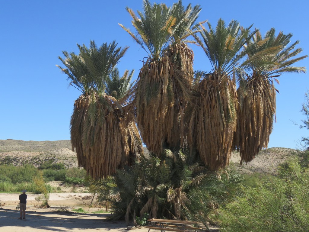
Also close to us was Hot Springs. Cal got his first experience on the Big Bend side roads in getting there.

Hot Springs was actually a little resort from the 20’s to the 40’s.


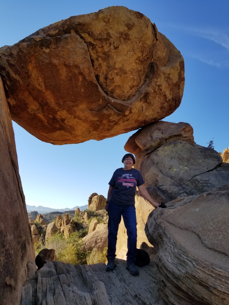
Many people who love the national parks bemoan the fact that sites which were once little-known are being publicized by influencers on social media. They are becoming more crowded and, in some places, becoming literally trampled over by excessive usage. I see this as a double-edge sword. It’s not great that we couldn’t find a parking spot just to take a hike in Rocky Mountain National Park. But necessity has led the Park Service to create a park shuttle service. The overusage in the parks is leading to some pretty creative and innovative ideas. Social media, namely a National Parks Facebook group that I am in, led me to this next spot in Big Bend. Park literature didn’t show a picture of it, only to name the trail. It is this spot: Balanced Rock, on the Grapevine Hills Trail. Once I saw a picture of it, I wanted to find it.
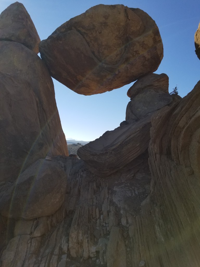
Cal usually obliges my curiosity about things, but heading to this trail necessitated a 7-mile drive down a dirt road in the desert which became more “washboardy” the farther down it we went. After a lot of bouncing around I was relieved when we finally arrived, since his good humor was just starting to dissipate.
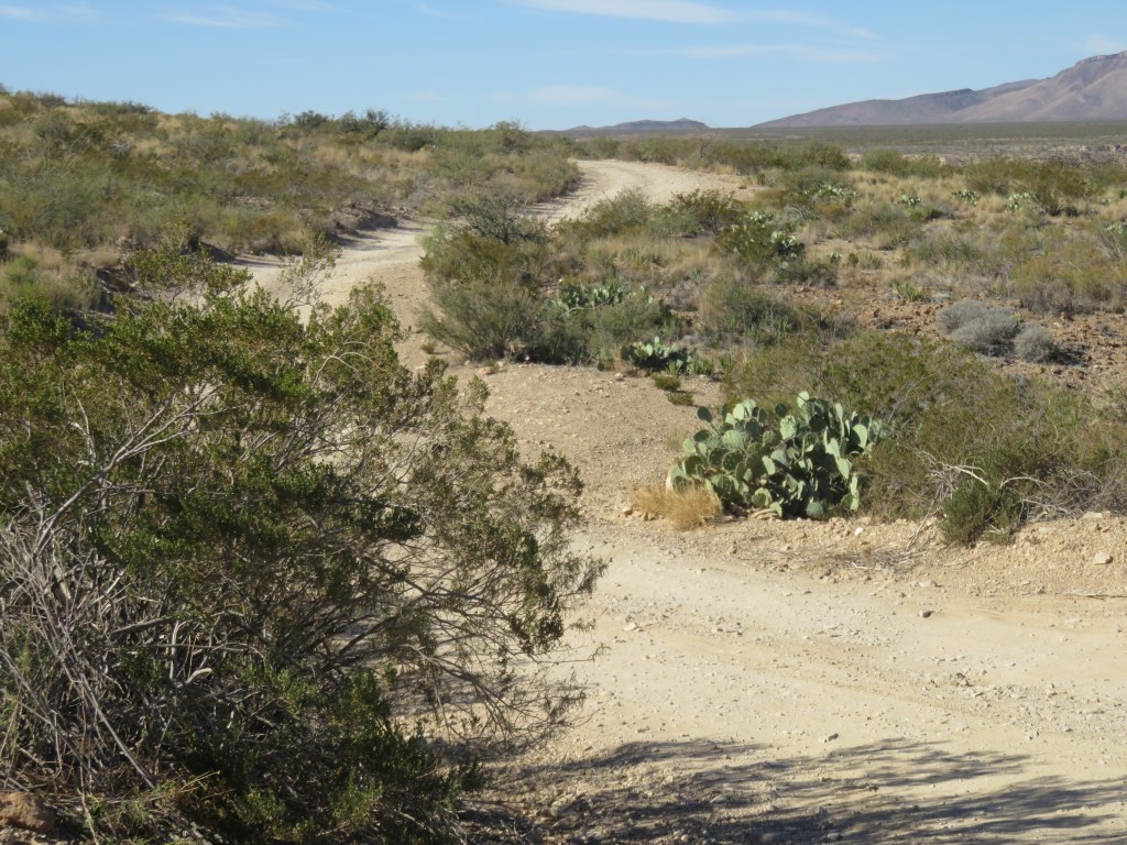
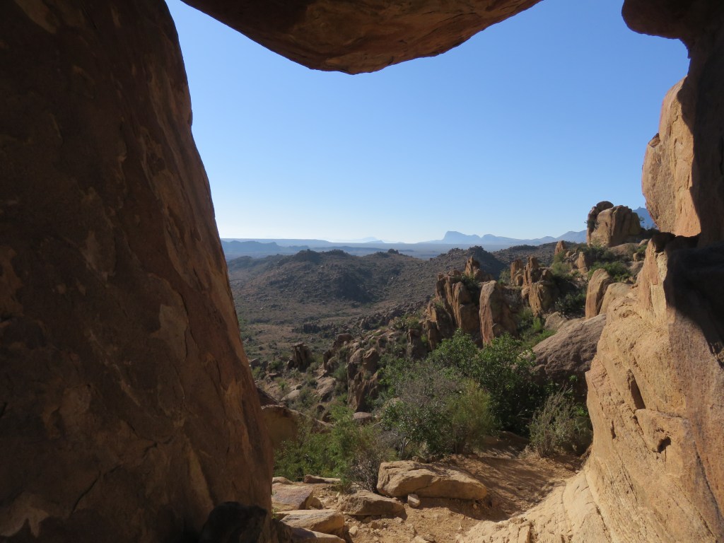
The trail was 2.2 miles and very easy except the last 1/4 mile, which was straight up. We enjoyed the scenery along the way.

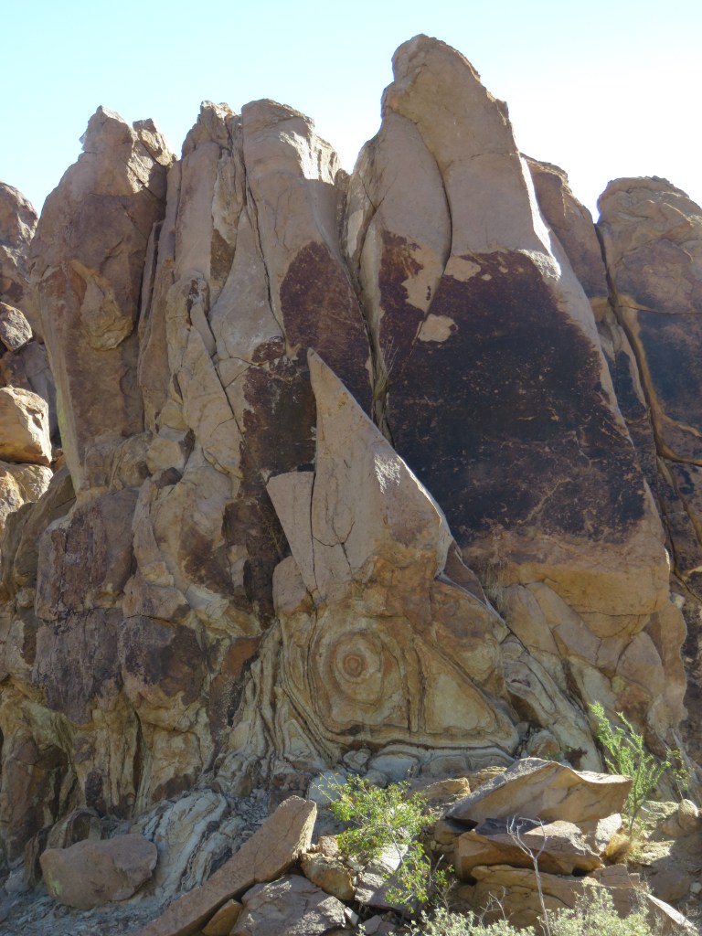


The last 1/4 mile involved clambering up rocks with hands and knees in places. It was an accomplishment to arrive at the top!


What a grand adventure. I will continue our exploration of the park in my next post, because there is still so much to see!
Next time: Chisos Mountains and Santa Elena Canyon in Big Bend National Park

This is a really interesting post! I would love to visit there. Good for you for driving and then hiking to the balanced rock spot. The mountains at sunset look so beautiful. Have you heard of “Slim PotatoHead” on Youtube? He did a video on the crossing at Bosquillas del Carmen. I enjoyed your pictures, too. Looking forward to your next post!
LikeLike