USTravel

The Loneliest Road and I-70 Through Nevada and Utah

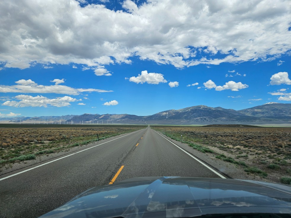
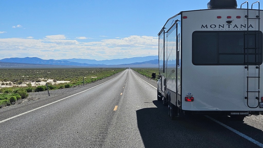
Sitting on the border of Nevada and Utah, Great Basin is one of the least-visited national parks because of its remoteness. It sits right off of State Route 50 (the Loneliest Road) near Baker, Nevada. We parked for two nights so that we could visit it.

Looking through the museum in the visitor center, I learned something that was fascinating. An area that covers almost the entire state of Nevada and west to the Wasatch Mountains in Utah is a huge basin. Water comes in the form of rainwater and snowmelt and flows through the streams and rivers, but never leaves the basin. Sort of like the milk at the bottom of your cereal bowl. The National Park is but a tiny microcosm of it.

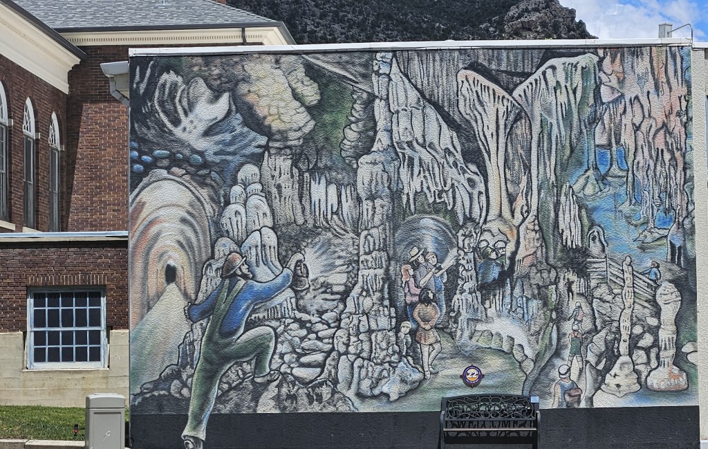
Some of the Basin’s moisture has dripped into Lehman Cave, a feature of the park that we were able to get a tour for.

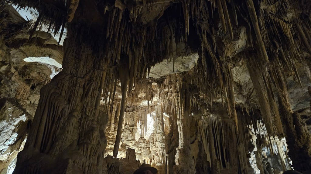
Every cave that we’ve visited has one or two things that differentiate it from any other. Lehman has 1,107 “cave turnips”. Only a dozen caves have them world wide, and they date back to the Ice Age. A cave turnip is a stalactite with a bulge in it. There are two of them in the picture below; can you spot them?

Out of the cave, we drove up the scenic drive, stopping at a couple of view points. Here was a flip side of the view that we had been seeing for the last couple of days.

At Mather Overlook, we could see another basin, this one carved out by a glacier.

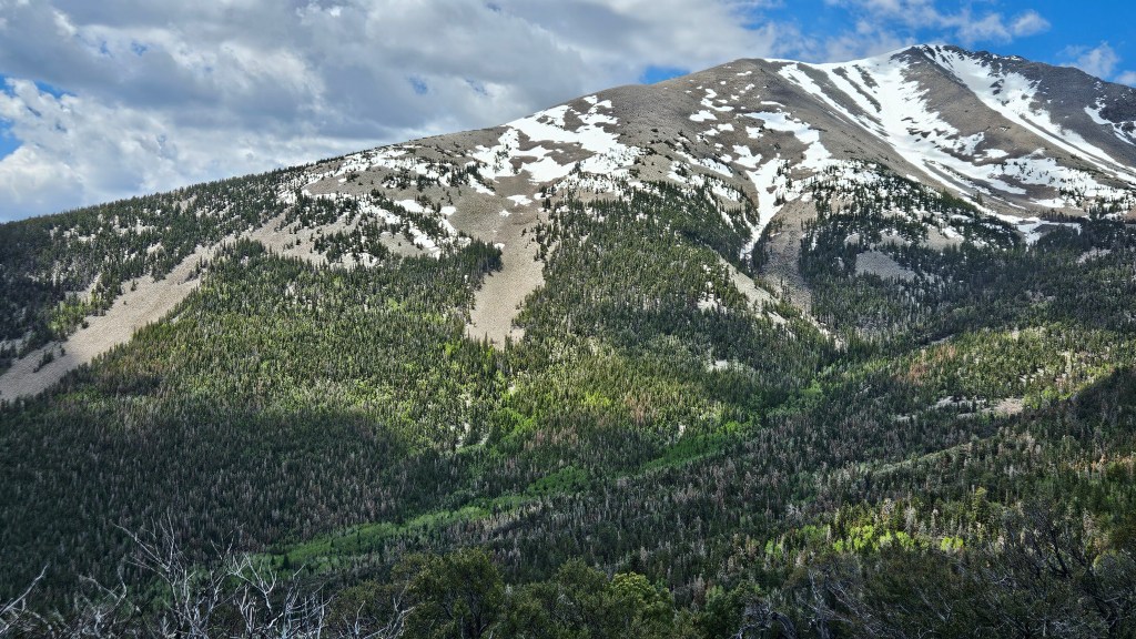
We topped out at 9,886 elevation on Wheeler Peak, although it was not the tippy-top of the mountain. The road ended here, and we stopped for a little hike.

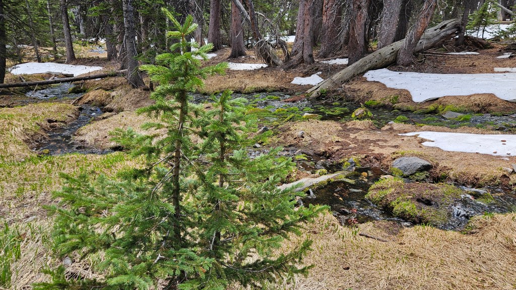
Melting snow created a wonderland of waterfalls and rushing streams. The sound of flowing water and the chirping of the birds made a nice backdrop for a lawn chair lunch.

Although this is a smaller national park, it is nice not to have all the crowds of the more dramatic parks we have been to.

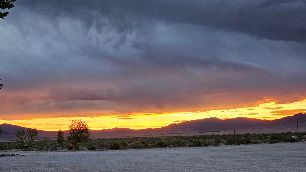
Back at our RV, we admired the clashing fronts happening in the sky – dark clouds rolling in but still blue to the west, from which we had come. There was intermittent wind and splashes of rain. It was a relief from the heat.

Also looking west–the official Lonely Road sign.

I wandered around in the desert a bit.

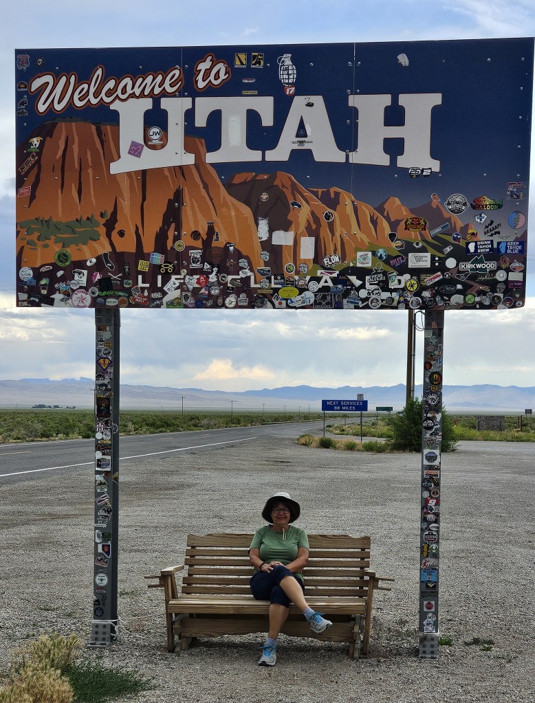
In the morning, we drove about a second before we were in Utah and Mountain Time.

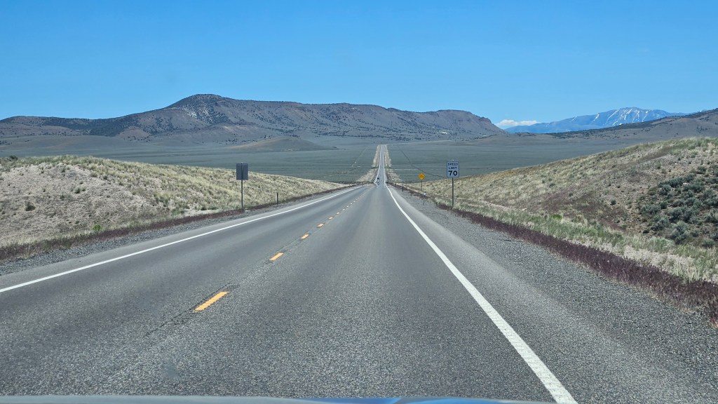
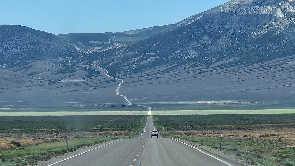
And still, the road went on.

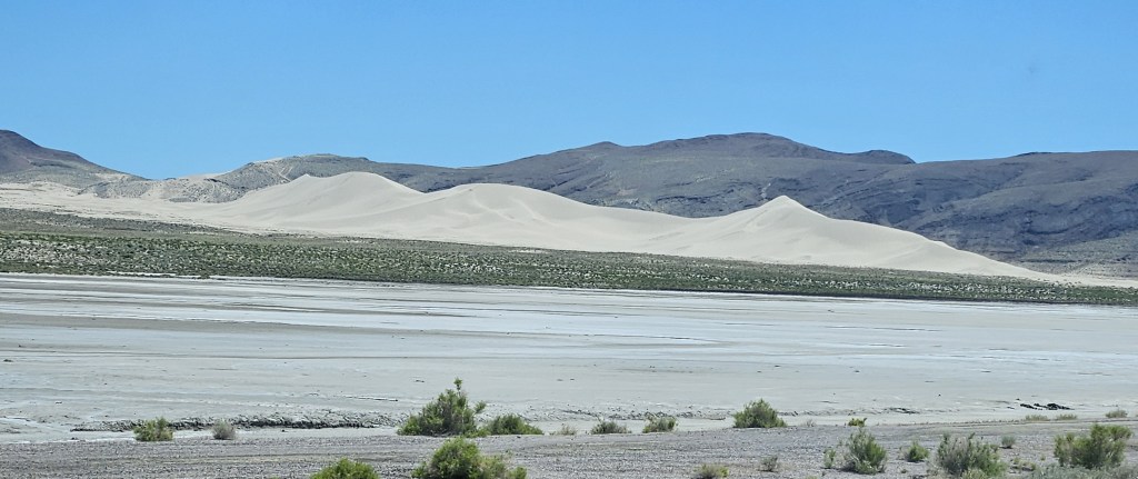
The western side of Utah was prettier than I thought it would be. We climbed up a pass and went down into a rocky gorge. Then, there was something that looked to be a huge dry lake covered with sand, or maybe it was a salt bed, and it went on for miles.

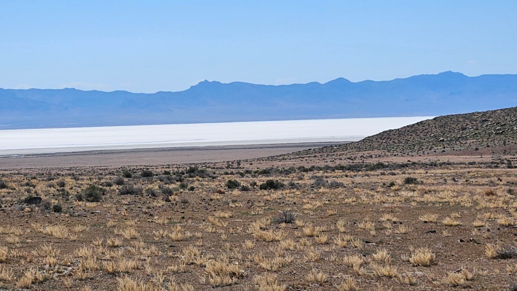
I looked at my paper Utah map, and it was noted there as Sevier Lake (Dry).

We climbed out of the Wasatch mountains, and we were out of the Great Basin. Our stay for the night was an RV park in Salina, Utah. The only thing memorable about this park was that the owner kept a huge flock of chickens, and she gave us a complimentary dozen eggs in several colors. Today, I’m not sure if she wouldn’t have charged us for them, because they are pure gold!

Highway 50 ended here, and we were now on Interstate 70. Route 66 may be called “The Mother Road”, but to me, I-70 is the Mother Road. I’ve either lived a large portion of my life not far from this highway, or I’ve driven on it through many states countless times to vacation or visit family. I think, though, that this was only the second time we’d been on it at its western origination.

Interstate 70, looking like ribbons through cut rock, is on the upper left of this picture

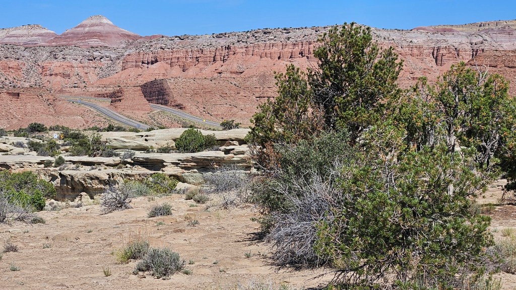
We were now entering a spectacular area with towering rock monuments, rock pillars and canyon vistas. It was almost as good as going through the Utah national parks. Actually, Arches National Park is somewhere to the south of this view. There was even a turnoff, Salt Wash Scenic area, to take in the view and enjoy a picnic lunch.

The parking lot was packed and I felt really happy that this stop off was here. It gives people a small taste of the state’s wonders, even if all they can do is zip through it.

Next time – a few days in Western Colorado

Note: although I am writing this during the winter of 2025, the trip actually occurred in June 2024.

USTravel

Traveling the Loneliest Road

In 1986 a Life magazine article dubbed Highway 50 in Nevada “The Loneliest Road in America”. It’s a pretty desolate stretch of two-lane highway, with miles between services. The pictures I’ve seen of the scenery along the roadway looked intriguing and I always thought it would be fun to ride it to see what it’s all about. “Desolate” is a word that in my language means “enticing”.

Cal is the driver of our journey and after looking at the map, he thought the drive would be OK. It’s a truck route, after all. So we headed east on 50 from Nevada’s western side at Washoe Lake State Park. There was nothing lonely about it for the first 60 miles or so. Construction and lane closures caused line-ups and slowed traffic, especially in some small towns we passed. Finally, we left everyone behind. The view was of salt and sand, pretty mountain scenery as we went up and down passes, a large flooded lake. We saw horses and a pronghorn antelope.

Along this stretch of road people had used rocks to leave their mark on the salt flats
Color contrasts on the desert floor and hills of sand

I had read ahead of time to look for a sign that said “BAR” in big red letters. Like a desert mirage, it soon appeared.

This was to be our lunch stop since this place has a reputation for delicious juicy hamburgers.

Middlegate was so named back in the 1860’s for Overland stagecoach trail that was cut through the mountains. Huge rocks on either side of the blasted trail formed the “gates”. This was a stagecoach and freight station until the early 1900’s, and for a brief time it was also a Pony Express stop. The hamburgers here lived up to their reputation.

After lunch, the road went on.

Our stop for the night was in Austin, Nevada. Summer weather had finally caught up to us, and it was hot. I had thought that after parking we might explore this tiny town, but we were perched on a cliffside and nothing looked inviting enough to cause us to want to sweat. The RV park was advertised as being next to a city park, which it would have been if not for the hill. We did walk down the road a bit to peer in the windows of this old general merchandise store, opened in 1863, which happily has been turned into a library.

Here was our first sighting of the invasion of the Mormon crickets. There weren’t a lot of them as they marched off to the side of our RV. At first I was fascinated, but in the morning I was happy to put Austin behind us. As we drove, we saw hordes of them crossing the roadway in places, staining the entire roadway red where they had been smashed.

**Fun fact – Mormon crickets are actually shield-backed katydids. They received their nickname after they destroyed the early crops of the Mormon settlers.

Not too long after leaving Austin, Cal discovered that the rubber seal around our RV door was flapping. He stopped and made a five-minute fix. That was enough time for me to hop out and take some pictures, and I noticed that the desert floor was alive with the movement of the crickets in a steady stream, north to south. Where were they going? They aren’t visible in this picture but trust me, they were there. I’m happy to report that this was the last sighting.

In Ely, Nevada, we stopped for a picnic lunch in the city park, and the sight and smell of the green grass was intoxicating. In the other direction from this view, some folks were engaged in a dog obedience class that provided us some entertainment. The far end of the park had a small duck pond.

A glimpse of a mural can just be seen in the back of the photo above. There was another mural across the street, depicting explorers and visitors to Lehmann Cave in Great Basin National Park. Altogether, there are more than twenty murals in this town.

I would have loved a closer look at Ely’s downtown and to hunt for more murals, but it was hot and we were still on the move.

Our drive today involved ascending more mountain passes, descending through junipers and pinion pines, and back down to fragrant sage deserts. More jaw-dropping scenery.

From a great distance, we saw a road snaking impossibly up a mountain side. Were we really going to have to go up there? Relief: as we got closer, our road revealed itself: no, we were happily going to veer off to the side. This turned out to be the backside of Great Basin National Park.

At the end of the day, we stopped for the night just inside the Nevada-Utah border. We had been generally trouble-free for a long time. But after arriving we discovered that a road-striping truck had splashed yellow paint on the lower front of the RV. To add to that mess, it was covered with red sticky Mormon cricket goo. Inside the RV our fire extinguisher had come off the wall, rolled under a strip of molding, and in the process of opening the slide, had pulled the strip off the wall.

Trouble comes in threes. Some tubing under the bathroom faucet had leaked and flooded the basement. Cal kept his good humor and everything was cleaned and repaired. It’s a good thing this doesn’t happen often!

Storm clouds at sunset in Baker, Nevada

In 2024 (or 2025), would State Route 50 in Nevada still be considered the loneliest road in America? It’s probably debatable, but I do know that it provided us with a lot of grand vistas and new sights on our journey through it.

Next time – we visit Great Basin National Park

Note: although I am writing this during the winter of 2025, the trip actually occurred in June 2024.