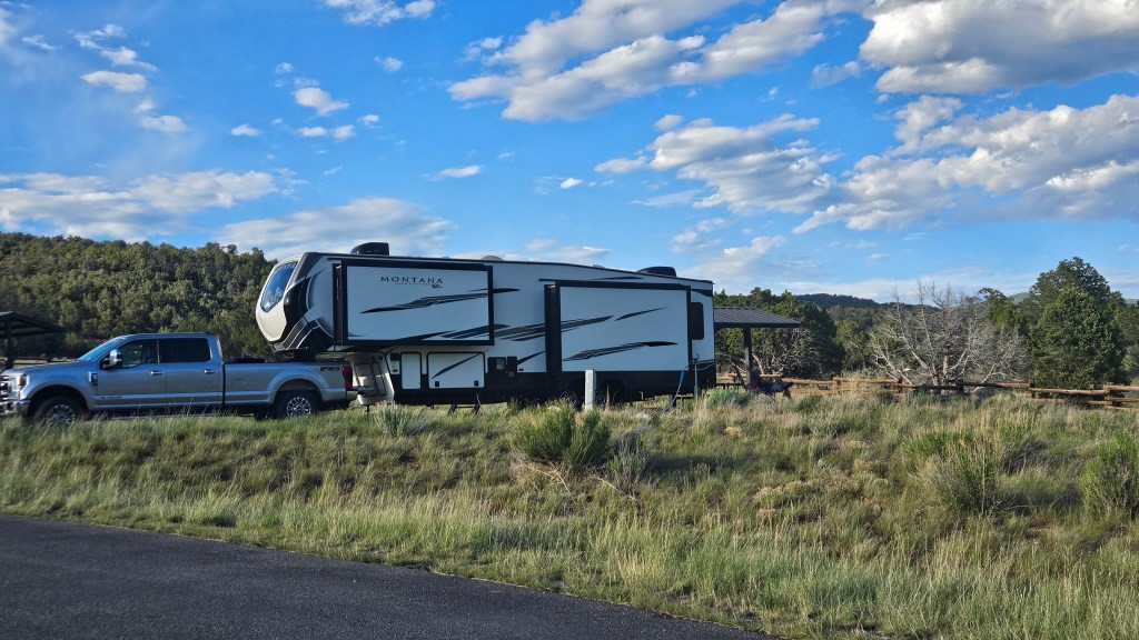
As we crossed over the border into Colorado from Utah, we were ready for a little break. James M. Robb State Park seemed like the place to put down the RV jacks for a few days. It sits just off of I-70 in the small town of Fruita.
Actually, it was a little too close to I-70 for a state park – I could see vehicles on the freeway in the distance in one direction, although I couldn’t hear them. And if I peered hard through the trees I could see – what?? It was the distinctive red of a Dairy Queen sign. That was too tempting. On our first evening, we walked through the campground and right out the front gate to have a little ice cream after supper.
Still, our site was pretty and there were pleasant walking paths in the park. It was a welcome improvement over some of the RV parks we’d overnighted in on our journey east. The park borders the Colorado River, which was full of gushing snow melt.
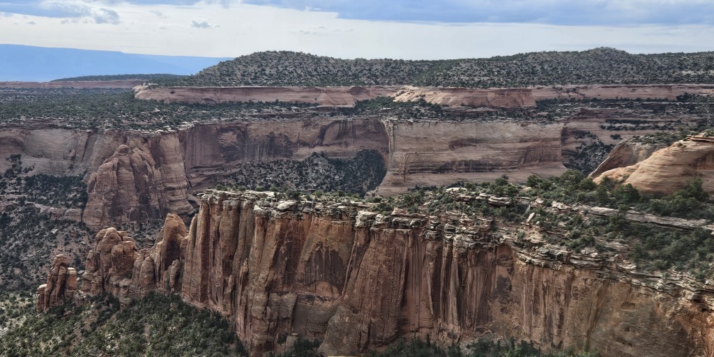
Behind us, we could see the towering cliffs of Colorado National Monument. We drove to the park for a visit. It’s only a couple of miles from the state park, but a world away. The road to the entrance wound up and up, with some rock formations, a couple of tunnels, and then…wow! We arrived on top of a huge canyon with rocks in formations and colors, pinon and juniper trees, and many viewpoints from which to see them. Rim Rock Road, which goes through the park and was built by the CCC, travels on top of mesas with plenty of switchbacks.

The scene was so different from what we were now seeing that it felt like a hidden surprise.
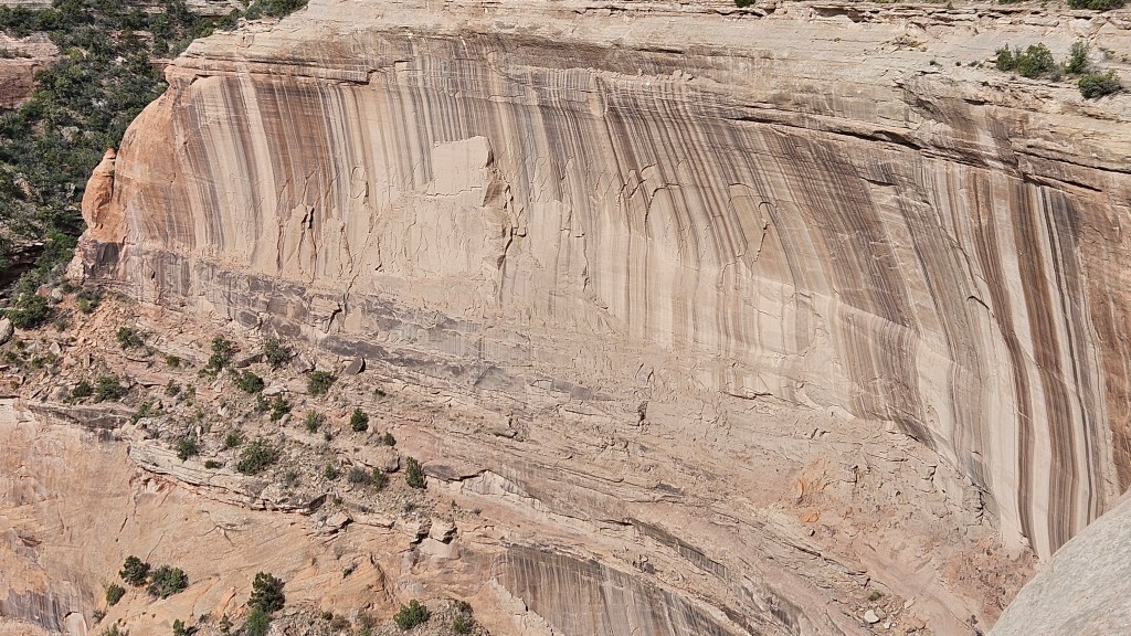
Desert varnish painted some of the cliffs in multi-colored stripes.
There was a different view around every turn–

–and ancient junipers stretched out their long and gnarled limbs.

We had come into the park just before the visitors center opened, so that was our last stop. They had a great movie about the formation of the canyon and its rocks eons ago.
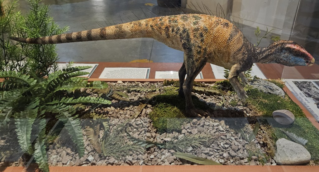
Dairy Queen wasn’t the only establishment in walking distance from the state park. As we’d driven back and forth, I’d seen a building called Dinosaur Journey Museum. It is part of the Museum of Western Colorado, just down the road in Grand Junction. I walked down to it from our campsite to check it out.
It turns out that this area has been rich in fossil finds. It’s called “the Jurassic Badlands” with hard sandstone ledges called “the Morrison Formation”.
There’s even a dinosaur named after the area. This is a life-size model of Fruitadens, one of the smallest dinosaurs in the world.
There are larger dinosaurs here, too. This is Dryosaurus Altus, which lived during the late Jurassic period. It’s still considered to be a small dinosaur!

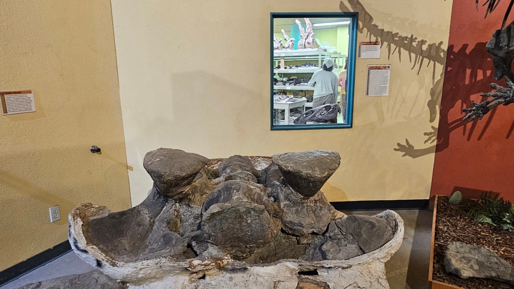
I learned many things here, among them the fact that the state of Colorado has the largest track site of late Jurassic dinosaurs anywhere in North America. It is 350 miles away on the eastern side of the state, in La Junta. I appreciated the fact that this was not a kid attraction and that everything was presented factually. There was even an interesting movie to watch.
There are working labs here which could be seen through windows, with a multitude of shelves containing fossils. One of those windows can be seen here, behind this picture of an upside-down Apatosaurus pelvis.
There was one more thing to do while we were at James M. Robb, and that was to ride our bikes. This town is working hard on having a network of bike trails. Actually, the full name of this park is James M. Robb Colorado River State Park, and it boasts that there are five ecological areas in separated parks: Fruita on the west end, where we were; Connected Lakes, Colorado River Wildlife Area, Corn Lake, and Island Acres on the east end. We did not have time to explore the other areas and opted instead to head back west on our ride.
The trail started out prettily enough, along the river, but then it swung alongside the highway with little shade. I think it’s great to build bike trails, but I wish planners would consider proximity to busy roads. I suppose it comes down to land availability. My lone picture from this very hot ride was from something called “Wakezone Park.” People could waterski on a lake without a boat through a system of cables and pulleys. It looked like fun.
I caught this person on top of an incline. It looks like she is stopped on the incline, but she was actually going full speed.

The day was sunny and very hot. I thought Cal was in a hurry to get back to our site, but as we came back into town he suddenly veered onto a left turnoff instead of going directly back. I was perplexed until I discovered the reason for the detour: he’d seen a sign for Ace Hardware, one of his favorite stores, and needed to make a purchase. I was impressed that he was able to spot it, but I suppose it would have been the same for me if it had been a craft store or antique mall sign!
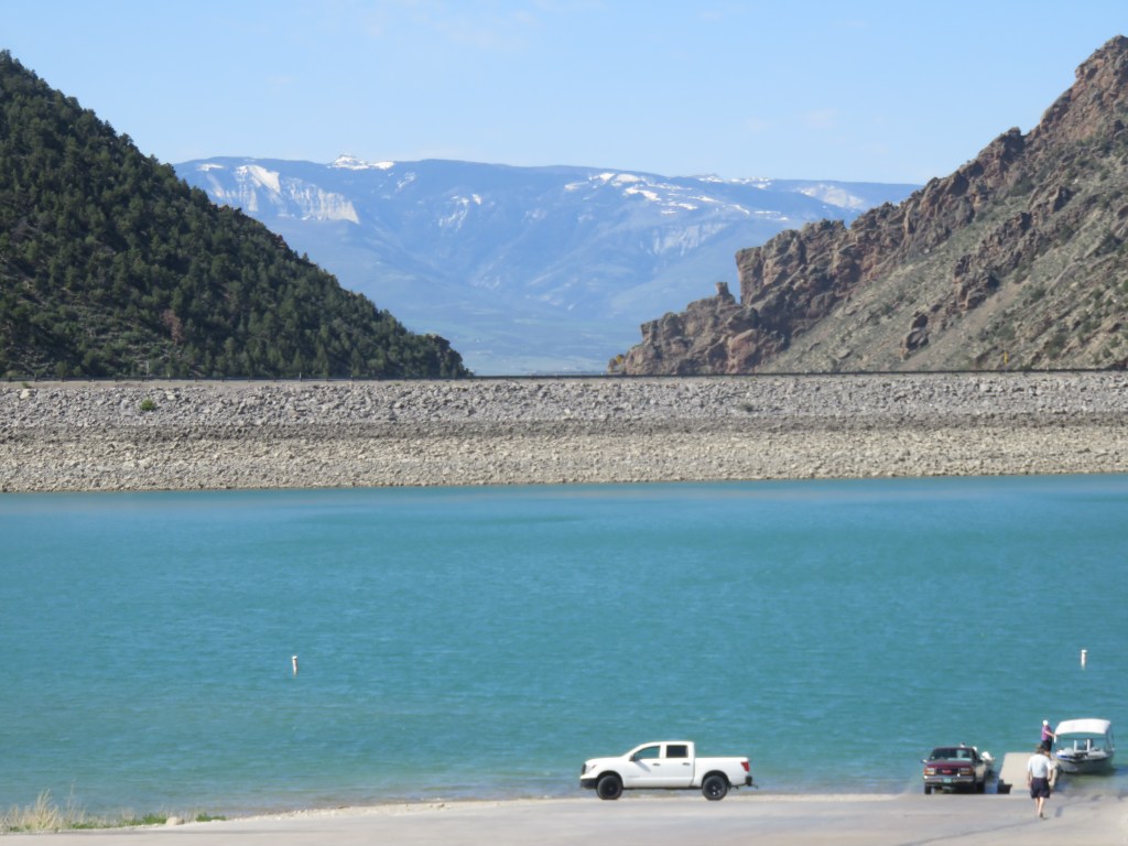
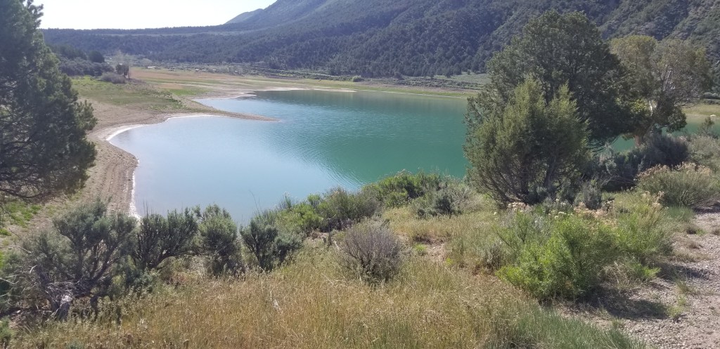
Back on the road, we had one more stop before arriving in Denver: another state park, Rifle Gap. Unlike James M. Robb, this park is set a few miles away from the highway.

We explored Rifle Gap and the surrounding area couple of years ago. Now it provides a restful mountain overnight on our eastward journeys back to Denver.
Next time: our Denver life
Note: although I am writing this during the winter of 2025, the trip actually occurred in June 2024.