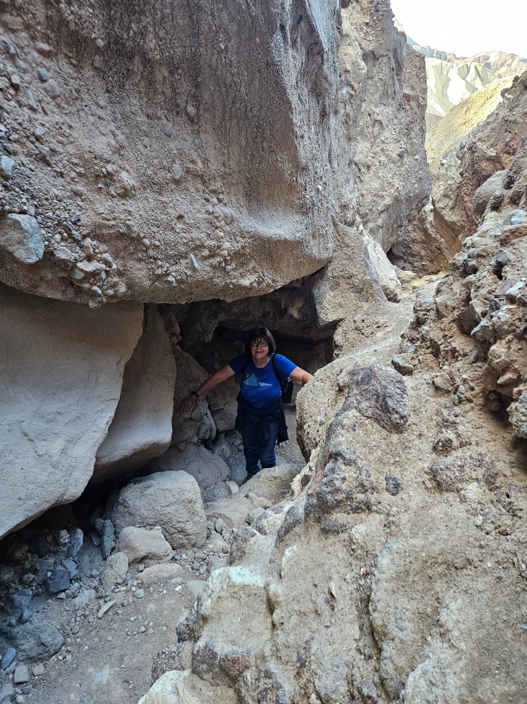
After our first visit to Death Valley I could not wait to come back. We returned to Death Valley for an early morning hike on the Golden Canyon and Red Cathedral trails with abundant sunshine. The canyon lives up to its name; in morning light it holds a golden glow.

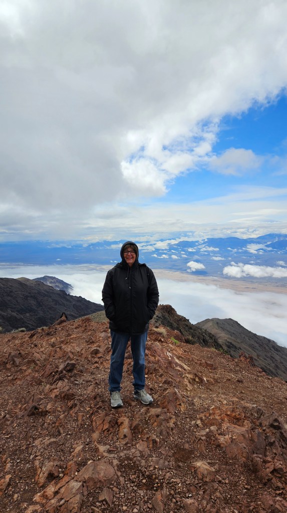
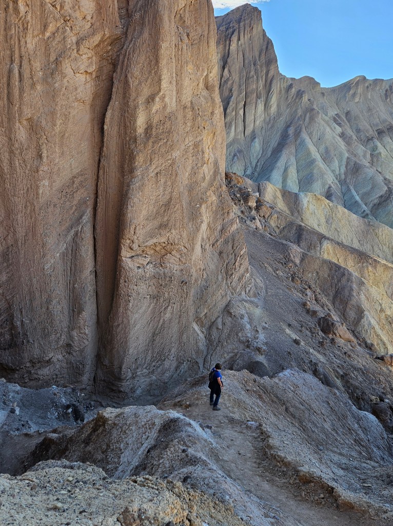
It was a bit of a scramble up to the pinnacles of Red Cathedral. At one point I looked up, saw Cal, and could not figure out how he got up to where he was. He was scaling the rocks like a mountain goat.

Meanwhile, he took a picture of me from his perch.
The heights at the top were a bit dizzying, especially since the rock pinnacles are so tall here.
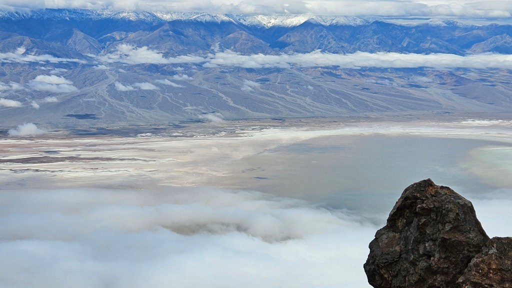
The view at the end of the trail is nothing short of spectacular.

We sat here by ourselves for a good long time just resting and enjoying the view. Another couple from Massachusetts came up from a different trail and we chatted for awhile. We discovered many things in common, particularly once we started discussing international travel. It’s funny who you meet in the wilderness and how easily conversations can start.
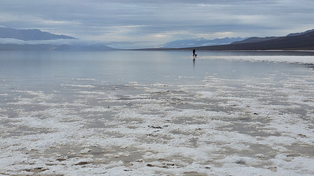
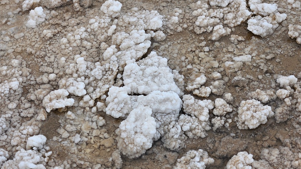
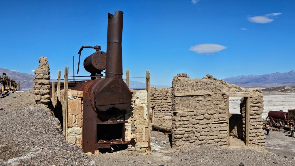
For a different angle on this magnificent park, we visited the Harmony Borax Works. I remember my mother always having a box of 20 Mule Team Borax on hand, but I never gave a thought as to where the product came from. Turns out that in the late 1800’s, borax was mined right here in Death Valley. You can see the white borax on the ground in this view, along with ruins of the housing for the Chinese workers in the distance.

Borates, or salt minerals, were deposited in ancient lakebeds long ago and eroded into the Furnace Creek Badlands of Death Valley. Water mixed with the borates and carried the borax ore here. Borax has many uses around the home. My mother used it in the laundry as a whitener and stain remover before “Shout” was available, but borax can also kill weeds, unclog drains, and remove rust. In the late 1800’s miners, blacksmiths, and morticians also used borax. It is a multi-purpose product, and even more so in the days before many chemical alternatives were invented.
It was cheaper in those times to refine the borax ore right on the spot, and it is the ruins of the processing center that you can still see at Death Valley today.
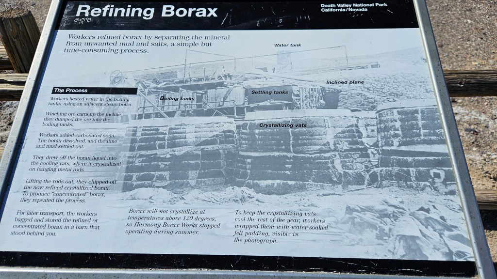
Here, the borax was separated from mud and salts. I won’t get in the weeds about how it was done, but if you are interested, I’ve included a picture of the signboard here that details the process.
It took ten days for a team of twenty mules to pull the wagons of borax 165 miles out of the desert to Mojave, where there was a railroad. The round tank that you see here held the water supply needed to make the trip out of the desert. This is one set of only two remaining original wagons. I could only imagine the mule team hitched up and on their way!


The mine wasn’t profitable, and only had a six year run. Borax was discovered elsewhere in California where the processing costs weren’t so high. In 1889 the Harmony Borax Works closed for good. But the logo of the twenty-mule team still graces boxes of Borax sold today.
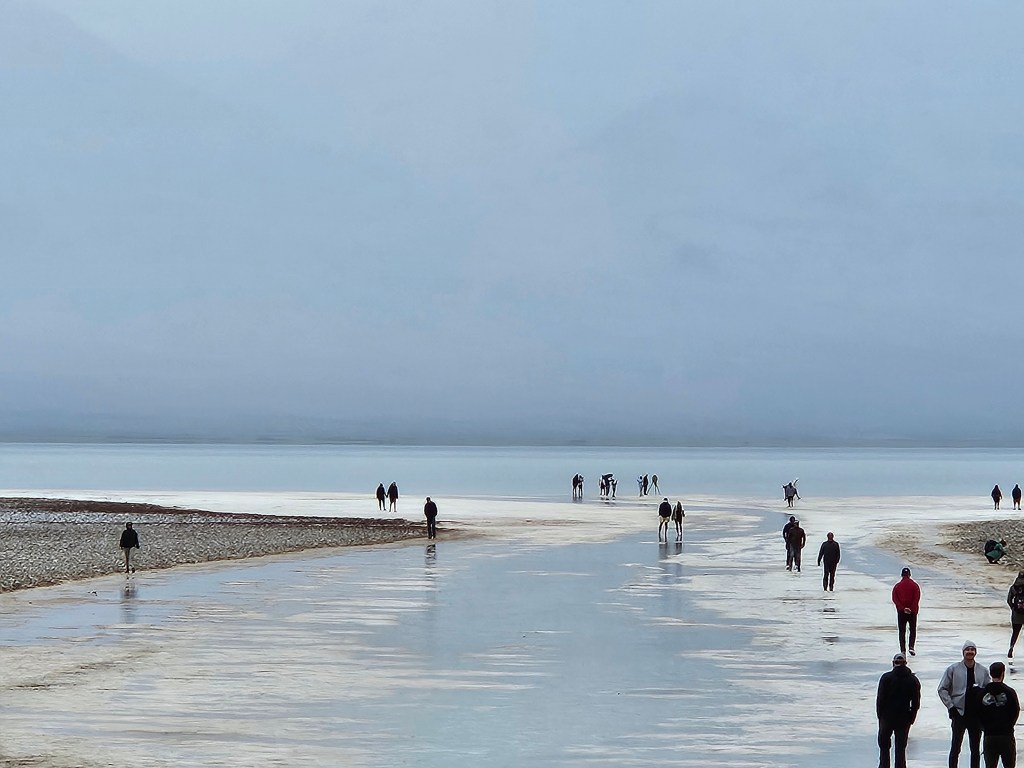
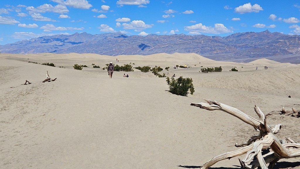
Mesquite Sand Dunes was our furthest-north stop on this day. By now it was afternoon, and was getting hot. Death Valley is the hottest place on earth. In 2020 and in 2021, the temperature reached 130 degrees, the 5th and 6th hottest days ever recorded anywhere. Of course, that would have been summer time, but even on this late winter day it still felt very warm and the temperature was hovering around the 90’s.
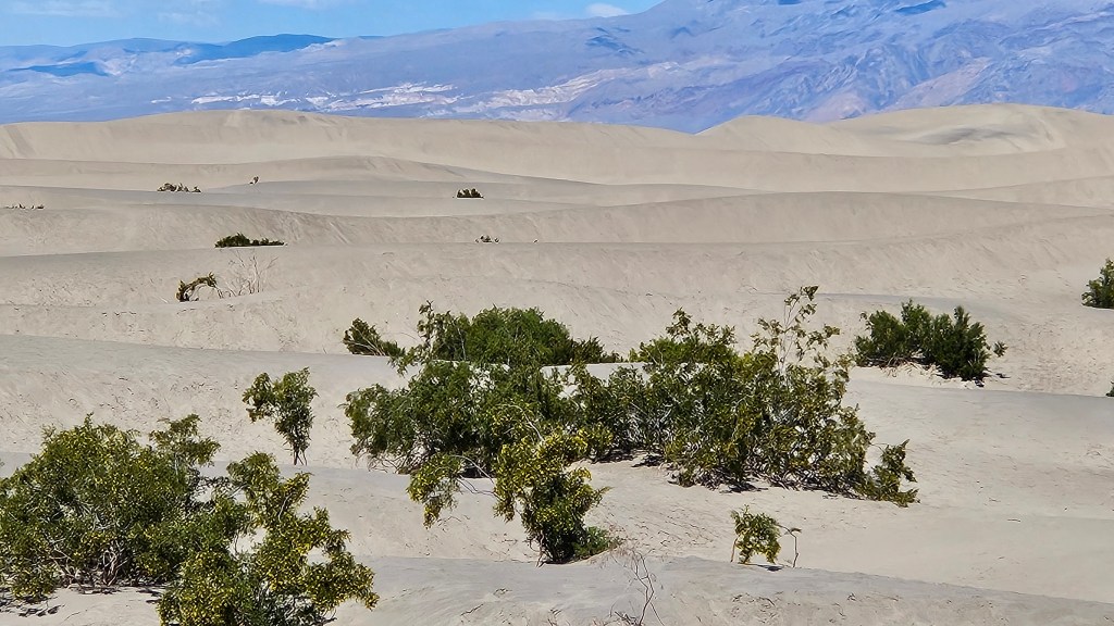
Although it doesn’t look like it from this picture, there were a lot of people here. The dunes seemed to swallow them all up.
We made one more stop on this day, to the Inn at Death Valley where I took a picture of the mule team. My driver was sorely in need of a rest. I had seen these ruins and wanted to explore while Cal took a break in the hotel lobby before the drive back home.
I couldn’t find much out about this building. I do know that the original adobe inn was constructed in 1927 with natural materials onsite. This building is across the street from the inn. As I walked inside, I noticed several partitions that looked like horse stalls. A stable for the inn, maybe? Well, who knows. It’s shabby on the outside. Perhaps it has purposefully been left that way.
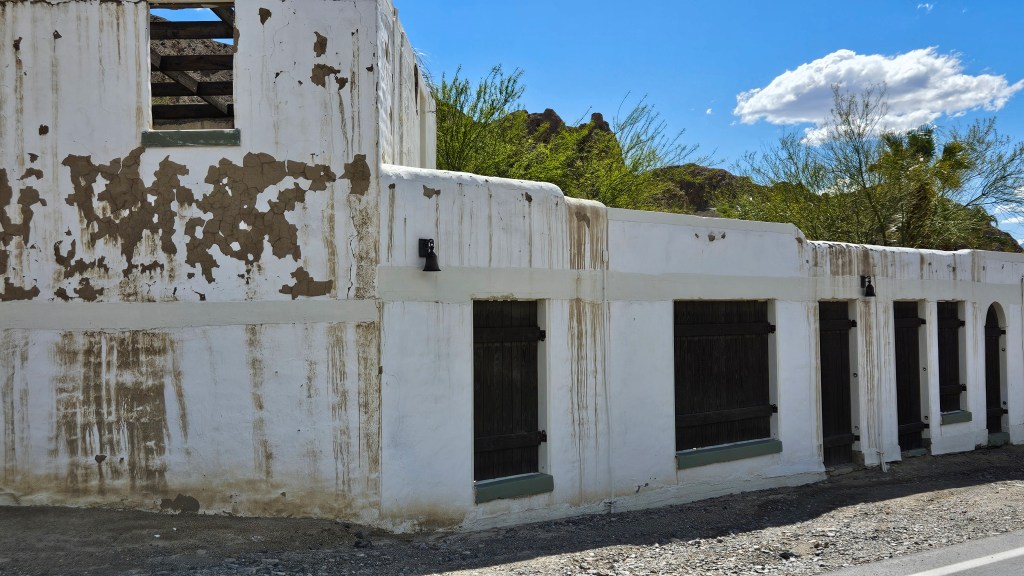
Once you go inside, though, it is a different and beautiful story. Past the horse stall ruins that may not be horse stalls, there is an inner courtyard. And perhaps the “horse stalls” were actually small inn rooms back in the day which led into this main area. In current day, it looks like it is being used as a venue for special events.

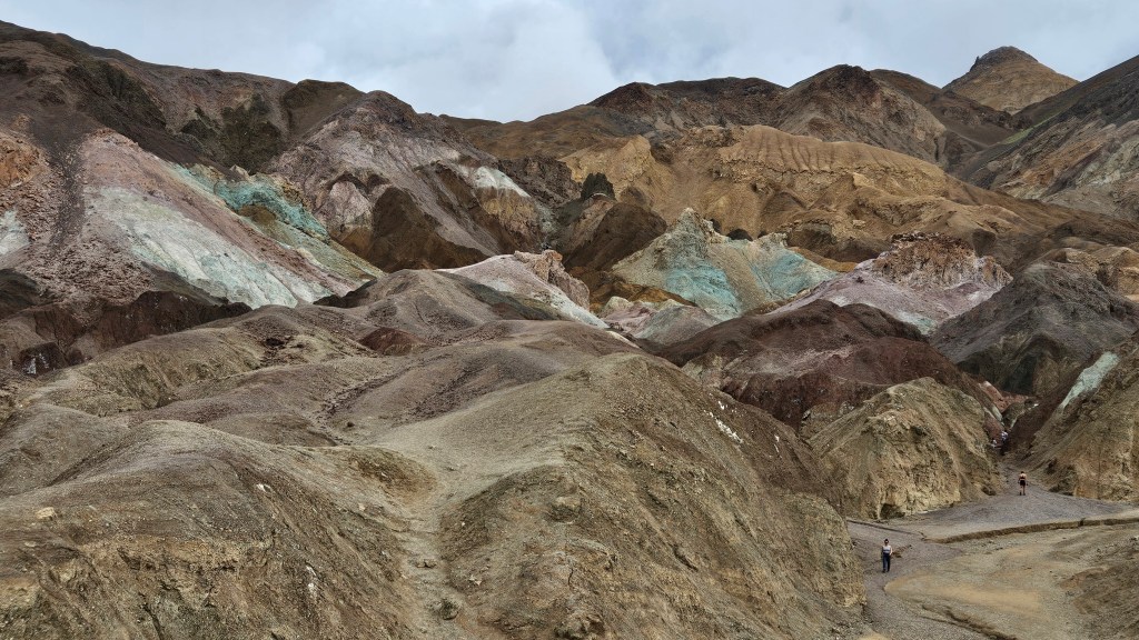
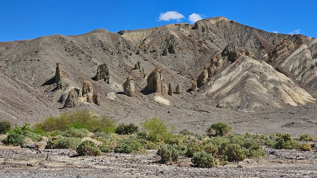
Of course, this is Death Valley, so right next door to this is are some interesting rock formations.

From here, I walked down to the spot that is considered to be the entrance to the valley. A small marker memorialized a group of one hundred emigrants who in 1849 tried to cross Death Valley as a shortcut and instead met thirst and starvation. We forget about how difficult this terrain is for those who weren’t Shoshone natives and didn’t have speedy vehicles equipped with air conditioning, heat, or comfortable seating. Nor did they have plastic water bottles.
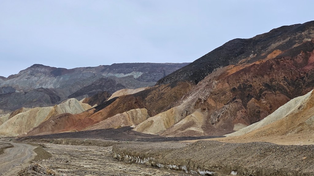
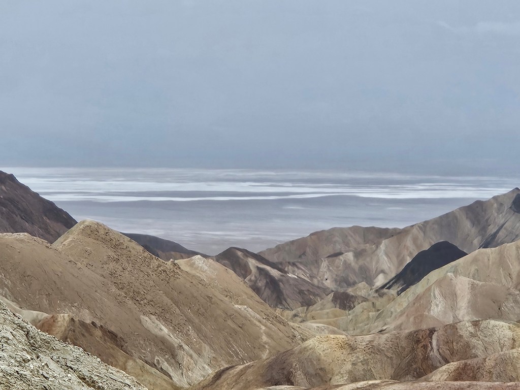
We had time for one more morning hike, and chose the closest one from home. This was the Badlands Loop at Zabriske Point. It was more open and even more desolate than anything we’d encountered earlier.
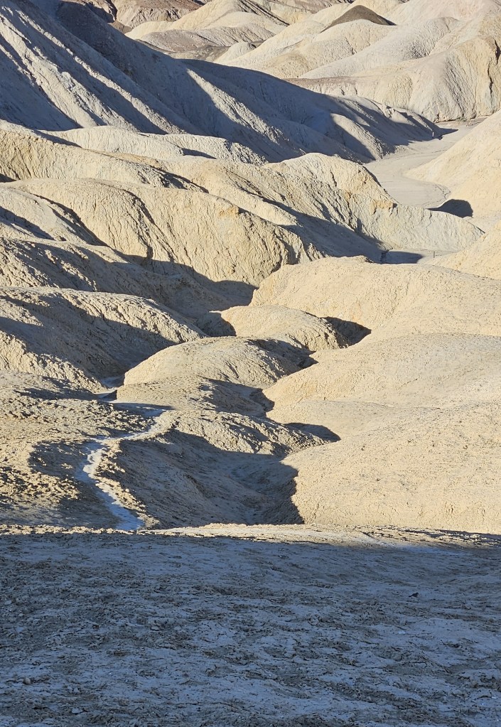
I marveled that anything at all could grow here.

I will leave you with a public service announcement. Days after our Death Valley visit, we were watching the evening news when there was a segment about a couple of people lifting the largest boulders that they could and tossing them off of a cliff while visiting a national monument. It was caught on camera, thankfully, and the perpetrators were arrested. The news station then posted the contact numbers and web addresses for the organizations that you can notify if you ever see some one desecrating our national parks and monuments like this.

Next time – Almorgosa Valley living